The starting point for the Kyushu trip was Beppu Port in the early morning.
My trip to Kyushu begins at Beppu Port early in the morning.
I had been traveling alone up to this point, but here I am meeting up with my family, who are arriving by ferry.
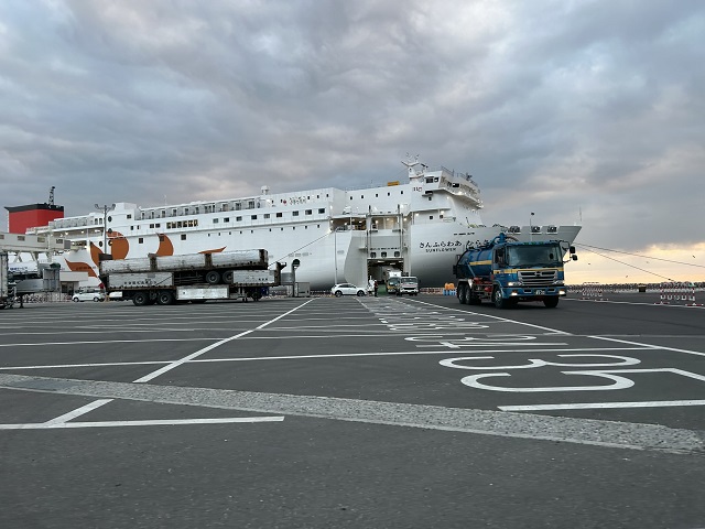
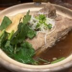
I’m setting off after having breakfast at Sukiya.
Today’s itinerary involves taking the “Yamanami Highway”—a route that crosses mountain passes from Beppu to Yufuin—and continuing on toward Mount Aso.
Beppu is famous for its “Hell Tour” (tour of the various hot spring sites known as “Hells”).
Since I’ve already done the Hell Tour on a previous visit, I’ll be passing through without stopping this time.
Related Article:別府地獄めぐりと地獄蒸しグルメ
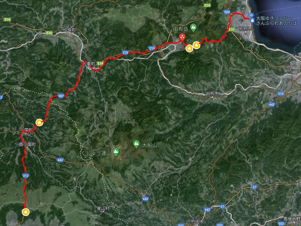
別府から大観峰のドライブ(Google Mapより)
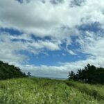
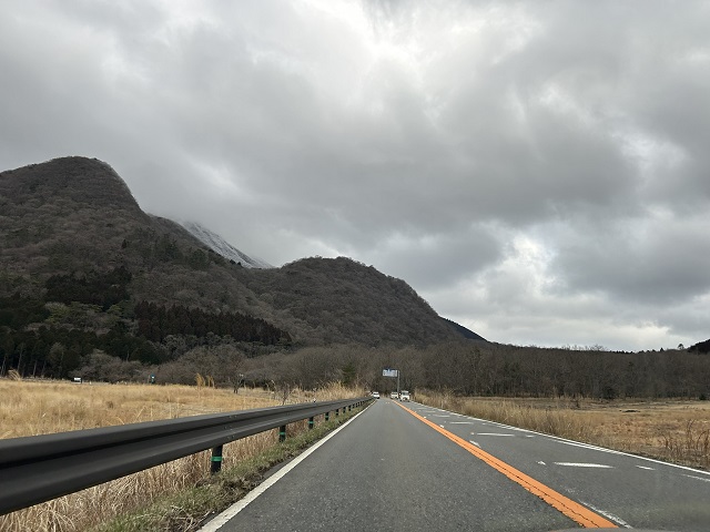
Came across a beautiful view while crossing over Mt. Yufu.
Snow still remains on the mountains overlooking Mount Yufu.
I’m making a detour almost immediately after starting.
A few snowflakes were fluttering down at the Yufudake trailhead.
Mount Yufu was largely hidden by clouds, yet there were hikers preparing to make the ascent.
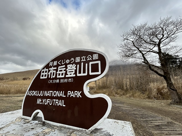
And then, another detour.
As you start the descent from Beppu toward Yufuin, you come across a spot with a great view overlooking the town of Yufuin.
It’s a bit cloudy, but I decide to stop there anyway.
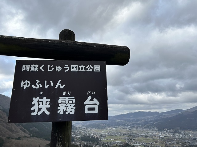
It is still early morning and the sun hasn’t risen yet, so the sky is a bit overcast, but the view is lovely.
I stayed at a wonderful inn when I visited Yufuin in the past, but this time I am in a rush, so I won’t be stopping in the town itself.
Related Article:由布院の隠れ家ハイクラス宿 「旅亭田乃倉」に宿泊
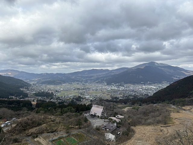
I discovered the platform of the former JNR Miyahara Line’s Kitasato Station near the Kitasato Shibasaburo Memorial Museum.
After driving inland from Beppu for about an hour and entering Oguni Town, I found a point of interest near the Kitasato Shibasaburo Memorial Museum.
It is a site where only the old station platform remains—a vestige of the former Kitasato Station on the old JNR Miyahara Line.
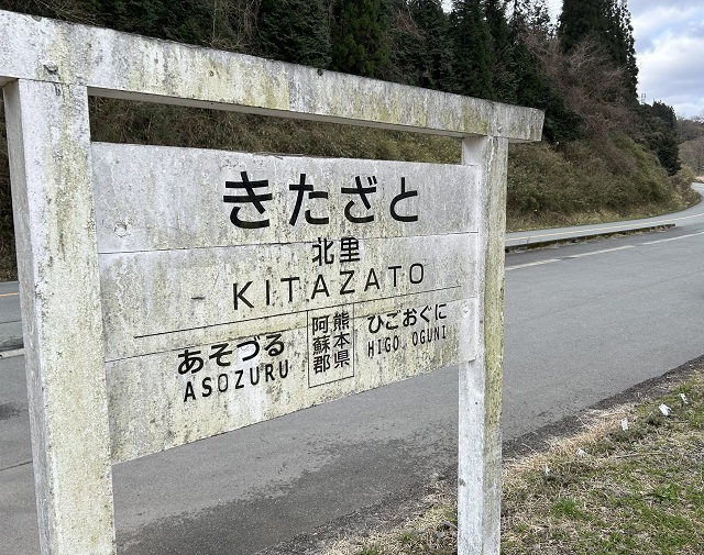
The destination signs display “Asozuru” and “Higo-Oguni”—names of stations that no longer exist—yet the original signage appears to have been preserved just as it was.
Traces of the past remain on the platform.
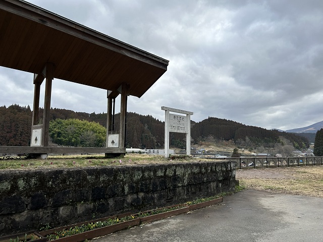
It looks like just an open square now, but it seems that railway tracks used to run through this spot.
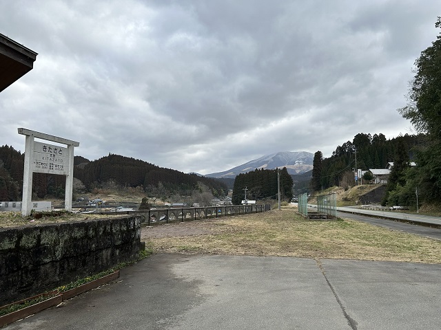
Although the former JNR Miyahara Line was closed in 1984, there are nearby sites where you can view structures used at the time, such as arch bridges and tunnels.
If you head west for a few minutes along Prefectural Road 318—passing the Kitasato Shibasaburo Memorial Museum—you will see the Kono-gawa Bridge (an arch bridge spanning the Momiki River) just before reaching Nishimura Daijingu Shrine; this bridge is a Registered Tangible Cultural Property and is another highlight worth seeing.
From there, drive south along Route 212 toward Daikanbo.
The scenery outside the car window gradually changes.
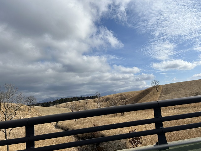
Enjoy the 360-degree panoramic view from Daikanbo!
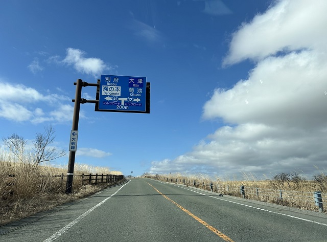
After emerging into an open area dotted with low trees, the road winds up and down; as you gradually ascend toward Daikanbo, you arrive at the observation deck’s parking lot.
From here, you can enjoy a magnificent panoramic view of the Aso Caldera.
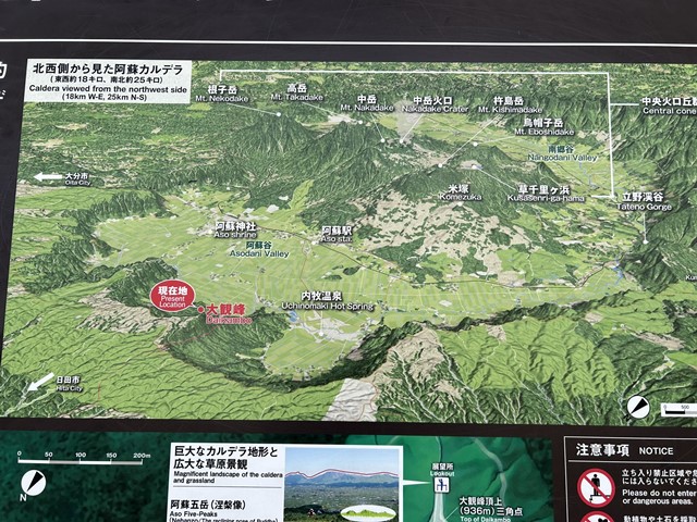
It seems to be a famous tourist destination in Aso, and there were many large sightseeing buses parked there.
Perhaps because of the location, there are many buses carrying Korean tourists.
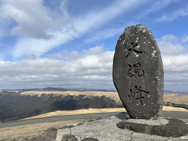
The wind is a bit strong, but the view is wonderful.
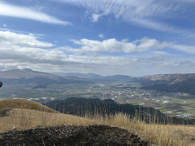
You can see far into the distance, allowing you to look down upon the shapes of the mountains and the town formed within the caldera.
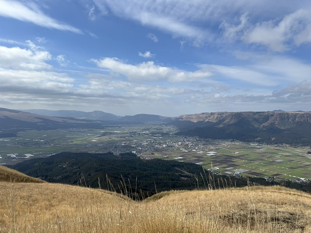
This is a view that can only be seen here.
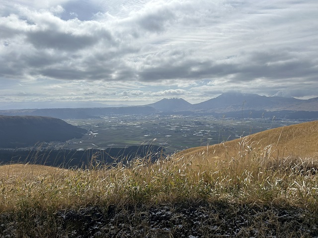
The Daikanbo observation deck features restrooms, vending machines, and a shop, making it a convenient spot to take a break.
My car actually ended up being used as a prop for photos by a middle-aged Korean man in the parking lot.
I suppose it was a rare sight for him, as it was likely a car model he hadn’t seen before in Korea.
We are heading from Daikanbo to Kusasenri.
After finishing our sightseeing at Daikanbo, we headed next to Kusasenri.
On the way, we spotted some Akaushi (Japanese Brown cattle) grazing in the vast grasslands of Aso.
It appears they are being pastured nearby.
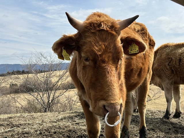
To get from Daikanbo to Kusasenri, you head south, passing through the town of Aso along the way.
The drive takes about 40 minutes.
The parking lot for Kusasenri is located further down, but there is an observation deck just before you reach it.
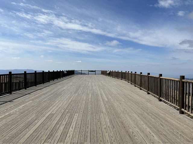
It is highly recommended to stop by, as you can enjoy a panoramic view of the Kusasenri landscape.
At the time of my visit, Mount Naka—located near Kusasenri—was erupting, and plumes of smoke were rising into the air.
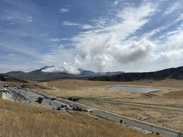
If you head down to the Kusasenri parking area, you will find restrooms, restaurants and cafes where you can have a meal, and a shop selling local products.

This also appears to be a sightseeing spot in the Aso area, as many tour buses were visiting.
I believe the parking fee was 500 yen, payable in cash only.
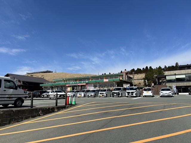
We will take a stroll through Kusasenri.
Kusasenri is the open expanse that stretches out right in front of the parking area.
The scenery changes completely depending on the season; you might find it blanketed in fresh green foliage, enjoy horseback riding, or—as was the case this time—see small lakes formed by the rain.

We visited after several days of continuous rain, so a lake had formed there.
It is so vast that it creates the illusion of being in Mongolia or somewhere similar.
I feel that photos and videos struggle to truly capture the beauty of the Kusasenri landscape, so it is a place I highly recommend visiting in person.
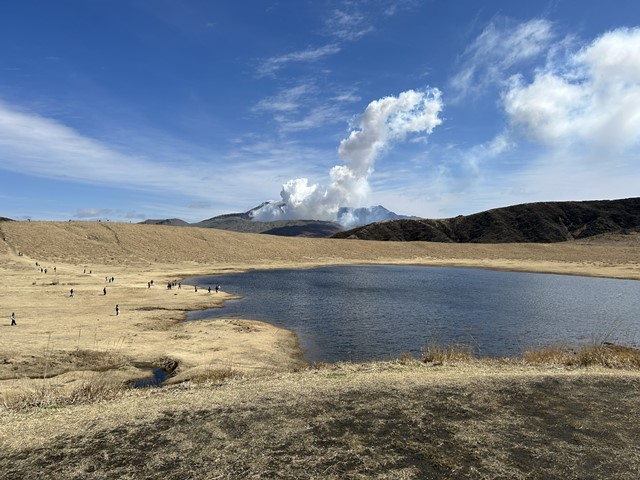
Since I was there, I decided to go for a hike over the hill.
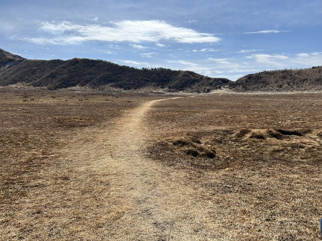
There are no restrooms at Kusasenri other than the ones in the parking area, so I recommend using the facilities before you start exploring.
The restaurant I visited before my walk was a popular spot for tourists from Korea and China; perhaps because they receive so many visitors, I was surprised when a staff member spoke to me in English as soon as I entered.
After the walk, I enjoyed some chiffon cake at a stylish nearby café.
It was delicious.
To Mount Naka-dake, currently erupting
It is currently erupting, so you can’t go right up to the crater, but I decided to head over to Mt. Naka-dake anyway since I was already there.
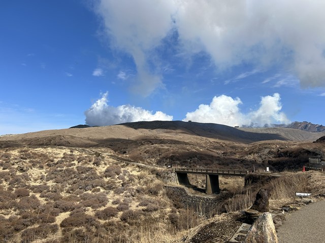
There was a terminal building next to the parking lot.
It appears that the building normally sells souvenirs and serves as a reception point for tours to the Nakadake crater.
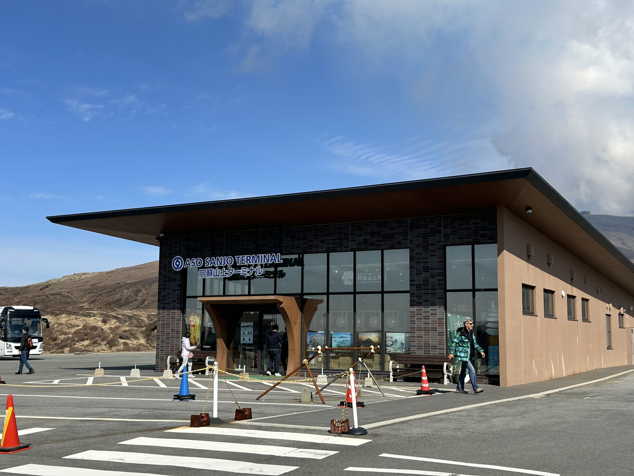
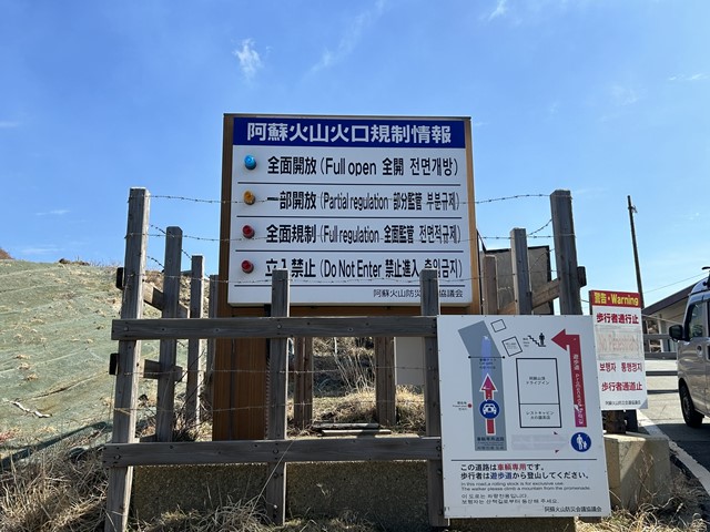
It is currently impossible to go all the way to the crater, as the path has been closed off.
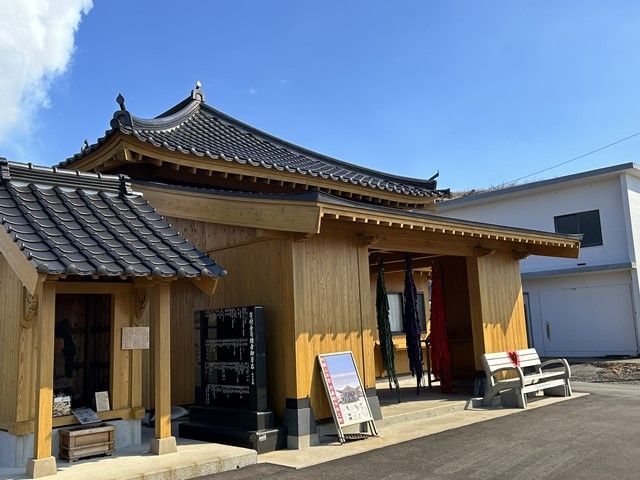
There was a shrine, so I paid my respects.
It was so close to the crater that, depending on the wind direction, I could smell a distinctive sulfur-like odor.
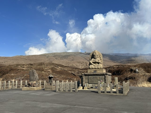
Heading to the Shirakawa Spring, one of Kyushu’s abundant water sources.
After visiting Mt. Nakadake, we headed to the Shirakawa Spring (Shirakawa Suigen) via the Minami-Aso Panorama Line.
Driving along the Minami-Aso Panorama Line is a delightful experience, so I highly recommend taking this route on a sunny day.
It takes about 30 minutes by car to get from Mt. Nakadake to the Shirakawa Spring.
You will see signs as you approach the spring, so you should have no trouble finding your way there.
We parked at the lot listed on Google Maps as “Shirakawa Suigen Parking Lot” (1 Shirakawa, Minami-Aso Village, Aso District, Kumamoto Prefecture).
There is a parking area with space for about eight vehicles, and a tourist information center is located right next to it.
There is another parking lot also named “Shirakawa Suigen Parking Lot”; since it is larger, it might be more convenient to use that one on days when the area is crowded.
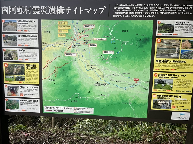
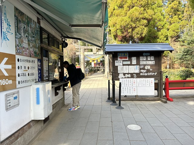
If you follow the path between the parking lot and the “Shizen-an” tourist information center and local products shop, you will reach the Shirakawa Spring after about 800 meters.
There is no admission fee, but a 100-yen contribution per person is requested to help with environmental conservation.
Shirakawa Yoshimi Shrine, the tutelary shrine of the Shirakawa Spring, stands beside the source where the water gushes forth.
It is enshrined as a deity of the waters of the Shirakawa River, with origins so ancient that the exact date of its founding is unknown.
The Shirakawa Spring reportedly discharges 60 tons of water per minute at a constant temperature, and the water in the spring pool itself was incredibly clear.
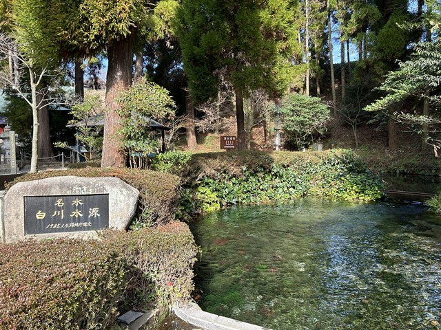
It has reportedly been selected as one of the “100 Famous Waters,” and looking at the clarity of the water, it is easy to see why.
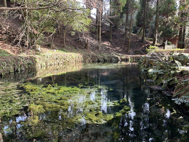
The water welling up from this source is 100% natural water and is, of course, safe to drink.
You can purchase a plastic bottle at the reception desk for 100 yen, so I helped myself to some of Aso’s natural water.
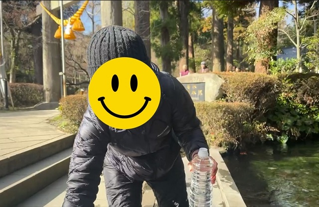
I later used this water to make tea, and it was delicious.
If you have your own water bottle or plastic bottle, it’s a good idea to bring it along.
I finished my visit to the shrine and headed home.
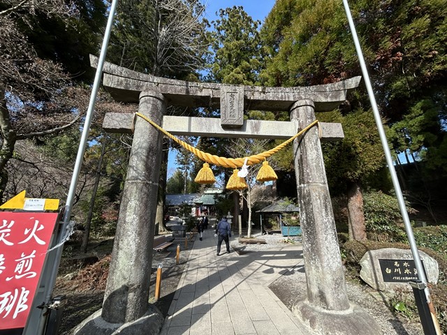
A side trip to Miharashidai Station, where the “Gogo no Kocha” commercial was filmed.
Although the Minami-Aso Shirakawa Suigen Station (on the Minami-Aso Railway) is located near the Shirakawa Spring, I made a detour after spotting a sign for “Miharashidai Station” while on my way to my hotel for the night.
It is a small, unmanned station; apparently, the station building was featured in a “Gogo no Kocha” (Afternoon Tea) commercial starring Moka Kamishiraishi and Kai Inowaki.
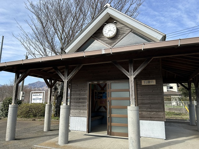
There is a parking space where you can park several cars and a portable toilet in front of the station.
It used to be a station building with an observation deck, but the current station building is the second generation and has been rebuilt into a small log house-style station building.
It’s a single route.

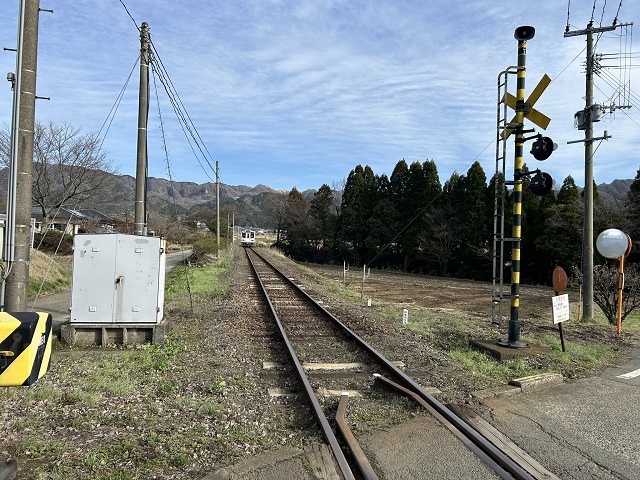
There didn’t seem to be much train traffic, but just as we happened to be visiting, a one-man operated train bound for the neighboring Takamori Station pulled in, and subsequently departed for that station.
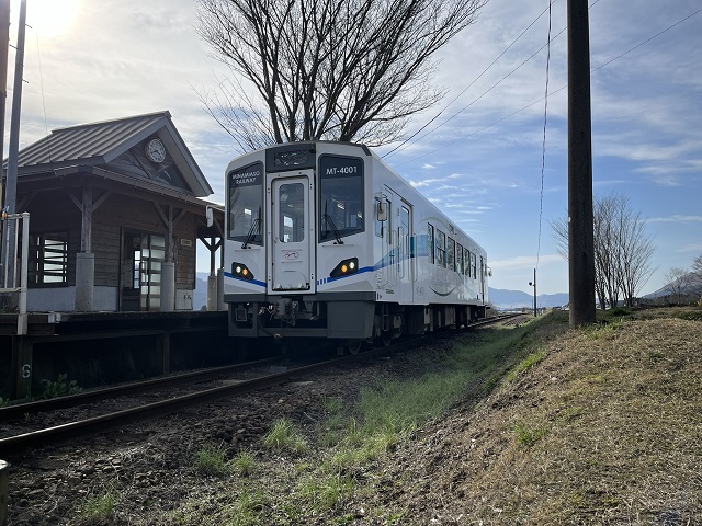
I was surprised by the chance encounter, but also incredibly excited.
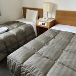
After that, we headed to the Aso Arden Hotel, where we were staying.